
 Yahoo Sport


The Ordnance Survey map change that put horse riders in danger
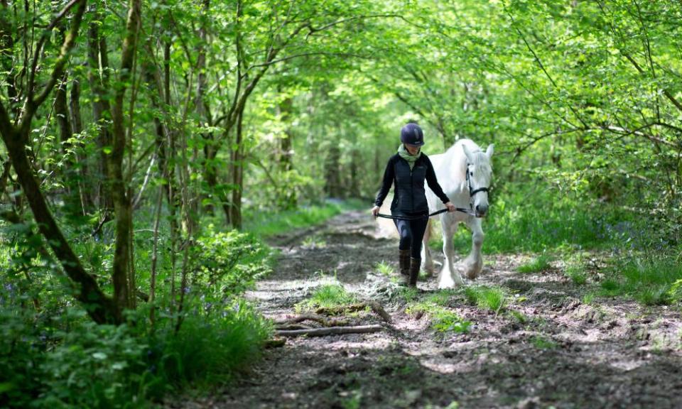
The campaigners that your article refers to are right (Give horse riders equal access to English woodlands, say campaigners, 12 August). There is another example of the government’s discrimination against riders in the article (12 August) on Alfred Wainwright’s coast-to-coast walk being made a National Trail – yet another facility only for walkers.
But it was ever thus. In 1946, the Ordnance Survey decided that bridle roads had been used by packhorse trains, which were no longer in use, rendering bridleways obsolete. It gave a directive that the letters BR, standing for bridle road, were to be replaced by the letters FP for footpath on the 2.5in OS maps. This had the effect of removing safe off-road routes, forcing later generations of riders and cyclists to risk their lives on the roads.
It is time for the the government to practise what it preaches with regard to public facilities being fully inclusive for all – to allow riders free access to Forestry Commission woods, to include riders under the walking and cycling strategy, and to give a directive to all landholding public bodies to upgrade footpaths to bridleways and to dedicate new ones, to enable all to have safe off-road exercise facilities.
Catriona Cook
Scarborough, North Yorkshire
• Have an opinion on anything you’ve read in the Guardian today? Please email us your letter and it will be considered for publication.
