
 Yahoo Sport


UK warned to expect 'dramatic weather shift' after glorious mini heatwave
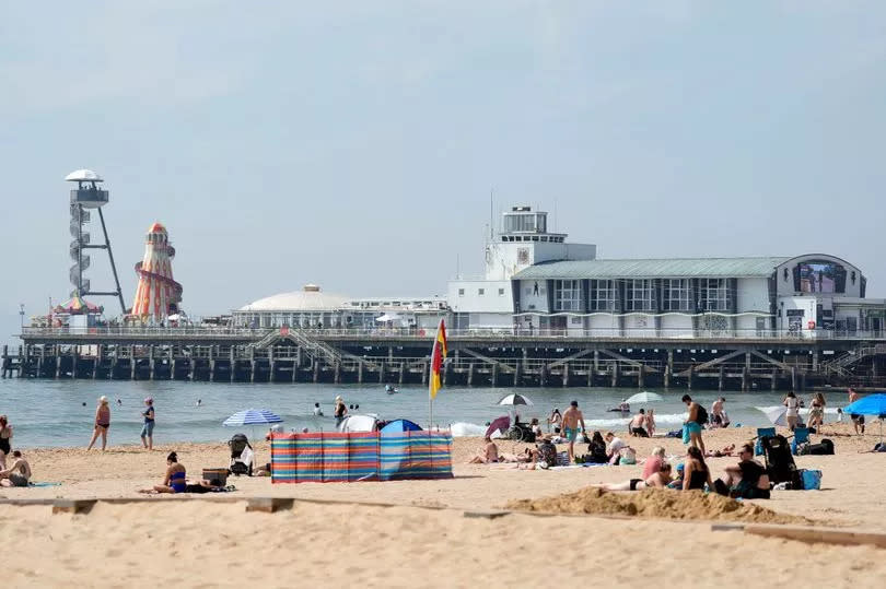
After a sun-soaked weekend where Brits across the country enjoyed temperatures peaking at 23C, the UK is set to return to classic "unsettled" conditions from tomorrow. Although temperatures will hover around 18C, and could feel chillier as 40mph gusts sweep across the country.
The Met Office spokesperson revealed: "Turning unsettled with showers and a risk of more organised and heavy rain, with strong winds in eastern areas by mid-week. Still some dry and warm, sunnier interludes at times."
As for the sunny spell we are currently enjoying, that's set to stick around for the better part of today. A Met Office expert stated: "Sunday is a fine day with plenty of warm sunshine. Cooler under cloudier skies in the northeast. Monday will bring lots of warm sunshine [with] low cloud lingering in the northeast where it'll be cooler."
Although, for some, this weekend was less about sun-basking and more about storm-dodging. Brits across the South West, certain parts of Wales, and the Midlands were issued severe weather warnings on Saturday ahead of expected thunderstorms.
Forecasted to persist for up to seven hours, there were warnings of potential flooding and significant travel disruptions. All this signalling a turbulent weather weekend for some, reports the Mirror.
The Met Office previously said: "While not all places will see them, slow-moving heavy showers and thunderstorms may lead to some flooding and disruption in places."
They raised an alert for torrential rains and storms that could result in flash flooding and challenging road conditions.
Locations across the UK were forecasted to have between 20-30mm of rain within a couple hours. They also forewarned there was a small risk that continued heavy showers could result in some areas experiencing 40-50mm of rainfall.
This warning covered areas including Swansea, Cardiff, Bath, Exeter and Plymouth, active from 1pm until 8pm. Any showers and storms were expected to dissipate by Saturday evening.
The Met Office then provided a weather outlook:
Monday:
A favourable day with ample warm sunshine expected. Cool temperatures predicted for the northeast due to lingering low clouds.
Showers possible in northwest Scotland, Northern Ireland and potentially southern England.
Outlook for Tuesday to Thursday:
Weather expected to turn unstable, bringing showers and the potential for heavy, organised rain, bundled with strong winds in eastern areas around mid-week. However, there will still be occasional dry, warm, sunnier spells.

